Planning
We can advise your company during the planning stages of any project that needs aerial imaging
Professional UAV services in Germany since 2015
Multispectral crop analysis using Micasense sensors to ensure you get fast and accurate results.
Carefully planned UAV based survey-grade mapping flown by qualified pilots.
Since 2023 Team Adcor has been working in close collaboration with Drohne Vision (Hamburg) providing a wide variety of drone services. We've upgraded our drone fleet to include the outstanding MAVIC 4 PRO. It is an incredible drone for professional photography and filmaking !!!
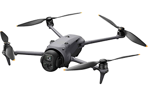
Please visit our partner's website here:
Drohne Vision
Wir sprachen Deutsche / Nous parlons français
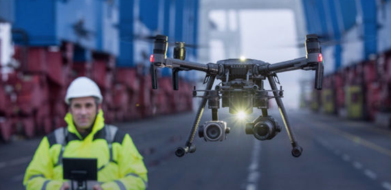
We fly DJI Matrice 350 RTK series drones...
Mavic 4 Pro, Mavic Pro 3 versions
Payloads include: DJI P1 45mp, Zenmuse X4s / X5s 20mp, Sony 24mp, Micasense-MX MSP sensors, XT Infrared sensors.
For large agricultural inspections please ask us about our fixed wing solutions!!!
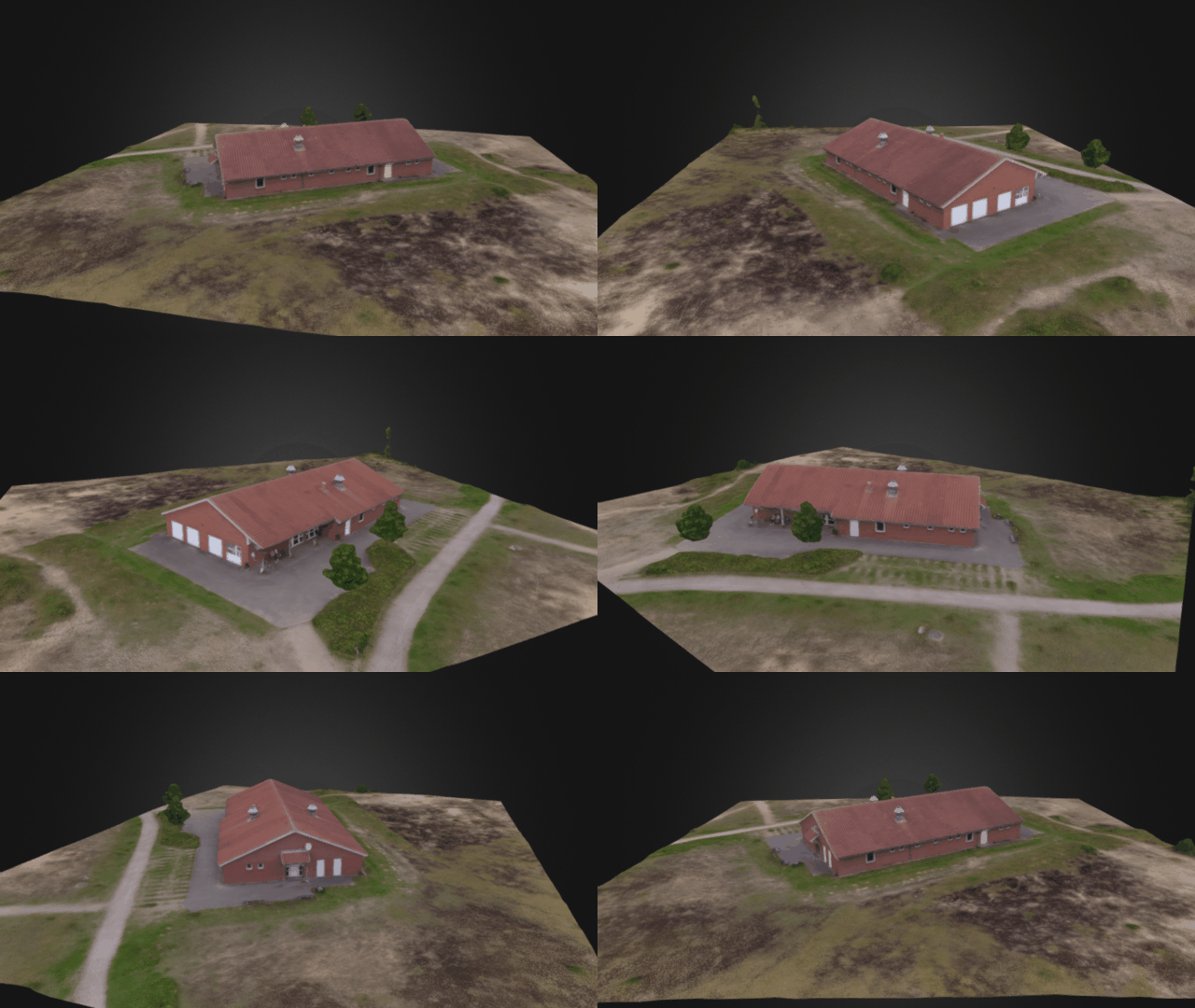
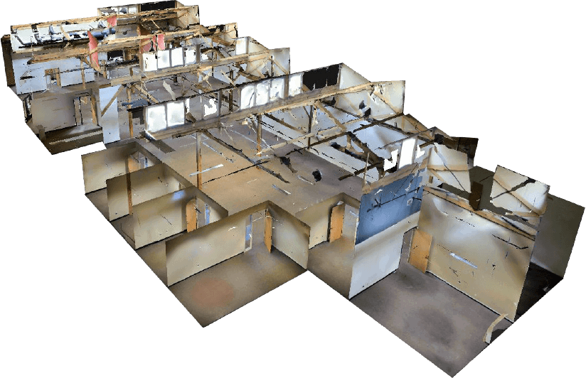
From below and above, using Lidar and Photogrammetry technology we can scan whatever is important to your company.
Today's latest technologies provide excellent solutions for businesses when it comes to BIM and VR.
Survey grade 3d mapping with the help of a Velodyne Ultra200 lidar sensor! We guarantee excellent results!
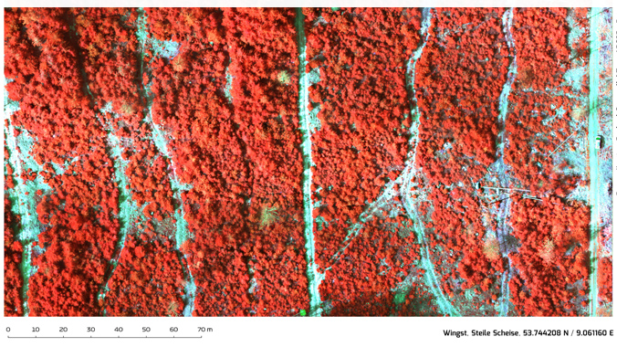
Exciting news...Team Adcor has made a new partnership with Agisense (Poland) to provide highly accurate vegetation analysis of forests and farms in Europe!

We can advise your company during the planning stages of any project that needs aerial imaging
We will provide the service (or services) that fit your specific needs in a cost efficient and swift manner. Data can be available within minutes/hours of the job's completion. There is also the possibility of live streaming for some operations.
Our team is always available and ready to plan any further operations to ensure that your data is exactly what you want and what you paid for... satisfaction guaranteed.
Eye in the sky - interactive 360 degree images (click and zoom!)
See the progess of your construction site, farm or forest on a regular basis